UN
10 Avonvale Road
£ 321,000
Description
We don't have a Description for this property.
- Bedrooms
- 3
- Bathrooms
- 0
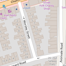

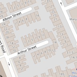

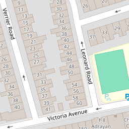


Leaflet © OpenStreetMap contributors
The heatmap indicates the level of crime in the area. The color of the heatmap indicates the crime severity and recency.
Metrics Year-on-Year
- Average area value
- 343,763.00 £Increased by 1.29 %
- Average area rental value
- 1,560.00 £/moDecreased by 6.25 %
- Est rental Yield
- 5.45 %Decreased by 7.31 %
- Crime Rate
- 10.00 %Unchanged by 0.00 %
from 339,393.00 £
from 1,664.00 £/mo
from 5.88 %
from 10.00 %
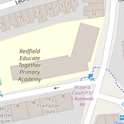
Nearby Schools
| Name | Type | Ofsted | Distance |
|---|---|---|---|
| Redfield Educate Together Primary Academy | Academy Sponsor Led | Good | 0.09 KM |
| St Patrick'S Catholic Primary School | Academy Converter | Outstanding | 0.28 KM |
| The Limes Nursery School & Children'S Centre | Children's Centre | 0.64 KM | |
| The Limes Nursery School | Local Authority Nursery School | Good | 0.66 KM |
| Whitehall Primary School | Community School | Outstanding | 0.69 KM |
Images
Nearby Streets
| Name | Average Price | Average Sqft | Distance |
|---|---|---|---|
| George And Dragon Lane | £ 0 | 0 | 0.00 KM |
| Barnes Street | £ 0 | 0 | 0.00 KM |
| Grindell Road | £ 0 | 0 | 0.00 KM |
| Chalks Road | £ 325,000 | 0 | 0.00 KM |
| Fireclay Road | £ 280,000 | 0 | 0.00 KM |
Nearby Transport
| Name | NLC | TLC | Distance |
|---|---|---|---|
| Lawrence Hill | 3225 | LWH | 1.08 KM |
| Stapleton Road | 3250 | SRD | 1.62 KM |
| Bristol Temple Meads | 3231 | BRI | 3.13 KM |
| Montpelier | 3203 | MTP | 3.92 KM |
| Bedminster | 3245 | BMT | 4.82 KM |
Nearby Listings
| Address | Price | Type | Score | Distance |
|---|---|---|---|---|
| Church Road, Redfield, Bristol, BS5 | £ 220,000 | BUY | 5 / 10 | 0.09 KM |
| Leonard Road, Bristol | £ 400,000 | BUY | Unknown | 0.10 KM |
| Church Road, Redfield, Bristol | £ 220,000 | BUY | 6 / 10 | 0.13 KM |
| Leonard Road, Redfield, Bristol | £ 320,000 | BUY | 5 / 10 | 0.13 KM |
| Leonard Road, Bristol | £ 400,000 | BUY | Unknown | 0.20 KM |
Nearby Properties
| Address | Price | Distance |
|---|---|---|
| 10 Avonvale Road | £ 321,000 | 0.00 KM |
| 6 Avonvale Road | £ 135,000 | 0.00 KM |
| 8 Avonvale Road | £ 143,000 | 0.00 KM |
| 28 Avonvale Road | £ 386,000 | 0.00 KM |
| 2 Avonvale Road | £ 212,200 | 0.01 KM |